ADVERTISEMENT

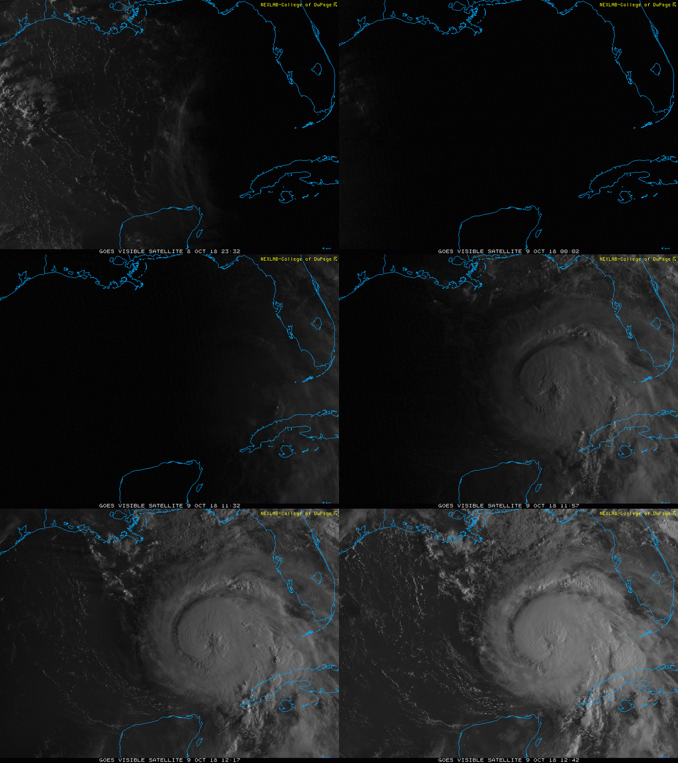
Now Cat 4 Michael

The path is for it to turn short of getting to Walton and go into Bay. Of course, it could change 5 times before now and Wednesday afternoon.
This might not be the storm to overfill Choctawhatchee Bay but an appropriate time nonetheless to monitor roadway flooding on West Harborside Drive leading out to the Driftwood subdivision. Should the roadway flood there is an agreement to open emergency access through Sandestin proper not that it has ever been invoked.

Just thought I'd throw that out there!
 
  • Like
Reactions: billanole
This might not be the storm to overfill Choctawhatchee Bay but an appropriate time nonetheless to monitor roadway flooding on West Harborside Drive leading out to the Driftwood subdivision. Should the roadway flood there is an agreement to open emergency access through Sandestin proper not that it has ever been invoked.

Just thought I'd throw that out there!
There's no longer a gate there so that ain't happening.
 
This might not be the storm to overfill Choctawhatchee Bay but an appropriate time nonetheless to monitor roadway flooding on West Harborside Drive leading out to the Driftwood subdivision. Should the roadway flood there is an agreement to open emergency access through Sandestin proper not that it has ever been invoked.

Just thought I'd throw that out there!
Squiffy has a voice of knowledge and reason here... this is the kinda voice I wanna hear in times of distress.
 
Unless it's shifted a bunch since the last NWS conference call at 4:45 CDT, Panama City is in the crosshairs.

Well, if I go ahead and change the oil in my generator I can pretty much guarantee Tallahassee will be spared.
Sorry.
 
  • Like
Reactions: noleclone2
There's no longer a gate there so that ain't happening.
Sorry you are busy and here I am sending a loaded issue. A couple of years ago I assisted clients reach a legal settlement by which the county kicked over 1.3M to address stormwater ponding problems in Driftwood. So many memories, two members of the BCC had to recuse themselves this after the lawyers found it necessary to move the legal proceeding out of Walton County Court.
 
Squiffy has a voice of knowledge and reason here... this is the kinda voice I wanna hear in times of distress.
I've just been around a lot. Florida has an excellent system of emergency management, best in the nation. I'm proud of the folks we are hearing from here.

Old hack that I am for a few years was pretty involved with Local Mitigation Strategies and Regional Evacuation Studies; funny thing Craig Fugate was a peer (at least technically), he ends up heading FEMA and I end receiving a post-election email that my services were no longer needed. Now I prefer to spend my time going to FSU sports and taking fuzzy pictures.
Transition time stinks. I’m about to go through again myself.
 
  • Like
Reactions: squiffynole
Sorry you are busy and here I am sending a loaded issue. A couple of years ago I assisted clients reach a legal settlement by which the county kicked over 1.3M to address stormwater ponding problems in Driftwood. So many memories, two members of the BCC had to recuse themselves this after the lawyers found it necessary to move the legal proceeding out of Walton County Court.
That's a conversation to have over a beverage one day. We'll have to do that.
 
My FIL just received a mandatory evacuation order in Blue Mountain Beach. They're headed to their old house in Monticello, which may not be any better.
 
Like out of a horror movie

43e83f73872e1c80edde3932bf142247b9f4c23ec9d9a01a552562feedc1d44a.gif
 
  • Like
Reactions: noleone99
Totally pales in comparison, but we're already seeing gas prices spike in NTX. GMA said this morning that all the refineries by y'all had evacuated, hope y'all don't get gouged too terribly once this dude passes thru.
 
Now the Southwest site has me a bit nervous about my flight. Leave Denver at 7am tomorrow, land at noon in Tampa. Hopefully they can skirt around it without too much delay.
 
10:00 AM CDT Tue Oct 9
Location: 25.0°N 86.2°W
Moving: N at 12 mph
Min pressure: 965 mb
Max sustained: 110 mph

Almost CAT 3 with 24 hours to go.

093811_5day_cone_no_line_and_wind.png
 
Last edited:
  • Like
Reactions: noleone99
Tallahassee should begin to see tropical storm conditions around 8 am Wednesday.

Have you heard whether the officials there are ready to act swiftly once the storm passes? I'd imagine various counties will be working together on this so maybe you've heard what's going on over in Leon area.
 
Tallahassee should begin to see tropical storm conditions around 8 am Wednesday.
I hope it waits until then to arrive. I don't want (when we inevitably lose power) my fridge to start defrosting in the middle of the night only to wake up to a bunch of ruined/spoiling food.
 
Good luck as you kids are preparing. I think my folks are waiting to get back to Tally until AFTER it passes. Dragging a 30 ft trailer in high winds falls into the category of a bad idea.

I get the VAST majority of Hurricane updates from this site, no one out here talks about hurricane season. Its trying to snow here.
 
  • Like
Reactions: Imtotallynottribe
Hate to say it or even think about it but a cat4 is a real possibility

3 or 4 , I hope the best for you all!
The director of the NWS in Tally said it
might be a Cat 4 but if it is it will only be a difference of 5-10 mph which won't make a difference in impact.
It's still moving almost due north so none of here can figure out the western jump they still have in the path. We're thinking more Apalachicola or even east of that.
 
  • Like
Reactions: noleone99
Do y’all buy the hourly weather channel forecast still? Showing peak winds in Tally of around 50 mph. That seems low considering it won’t weaken that much that quick right? What did we get for Hermine? 50ish??
 
Do y’all buy the hourly weather channel forecast still? Showing peak winds in Tally of around 50 mph. That seems low considering it won’t weaken that much that quick right? What did we get for Hermine? 50ish??
I'm wondering the same thing. I mean, we're prepared with supplies, and we've stowed all loose outdoor objects...but we have big windows that aren't boarded up or anything. Are we being too complacent?
 
I'm wondering the same thing. I mean, we're prepared with supplies, and we've stowed all loose outdoor objects...but we have big windows that aren't boarded up or anything. Are we being too complacent?

That may be 50 mph sustained, gusts likely higher presumably.
 
  • Like
Reactions: NoleLizards
I'm going into Charleston South Carolina sometime on Thursday. Am I going to be good to drive or will rain and winds be too bad there?
 
You are on the “ dirty” side of the storm.

If it’s a 3-4 I would say 50 mph is a low number

Not a pro but I have had to deal with these things my whole life here in south florida

I have impact windows but back in the day if a 1-2 I didn’t board up,

In tally I would worry about trees coming down and tornadoes

Stay away from those big windows!
 
I think they were sustained in the low 60s
Hermine came through here in Tally in the middle of the night. The electricity was knocked out and it was terrifying! At least it should be relatively light out for most of the worst of this one here.
 
ADVERTISEMENT
ADVERTISEMENT